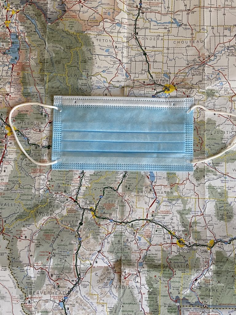
I had to get out of town! It is hot, dry and boring at home. I needed some cooler air and a change of scenery. I needed a “change in latitude, change in attitude.” However, unlike Jimmy Buffett, I was heading North. Yes, maybe not advisable due to the coronavirus risk but I would just be extra cautious on my road trip this year.
First, I had to deal with my ever-increasing dyskinesia symptoms – a side effect of the medication I take. I had a telehealth appointment with my movement disorder specialist. I was amazed at how well he could diagnose me via my small iPhone screen. I guess to a trained eye my movements were obvious. Or, was I in deep denial? We decided to switch my meds…after I returned from my epic road trip. I didn’t want to manage a big change away from home. He agreed.
First stop, a 10.5-hour trip to visit and pick up a friend near Aspen, CO. We packed up the car with food, drinks, maps, masks and lots of sanitizer wipes. We were off to explore Montana and Glacier National Park – God’s country.
We were determined to take the back roads – the roads less traveled – to see more of the area and the beauty. Sometimes that put us on unpaved roads for miles and miles. It also put us at odds with Google Maps. The voice guide did not appreciate our sense of adventure! Good ol’ paper maps were our guide. One was from a trip I took more than 20 years ago. Luckily, not many roads have changed in that time.
The small towns, rivers, mountains and people were really special. It was worth the extra time it took to travel. Finding a picnic table for lunches became a game. Plus, we crossed the Continental Divide about a dozen times. For the most part, people were respectful, kind and wore masks. We felt very safe. Of course, there were exceptions but that is a topic for another day (or you can read about it in my Yelp review).
As for Glacier National Park, it is amazingly beautiful. The waterfalls are plentiful and huge. The wildflowers are stunning. The hiking was rewarding. Sadly, we couldn’t hike one of the most popular trails due to a bear sighting. At least, we weren’t the ones who spotted it.
Unfortunately, the glaciers are shrinking fast. Another topic for another day.
I’d like to hear from you. Please leave comments below.
I started a podcast – The Parkinson’s Experience. You can listen from my blogs page – https://17branches.org/blogs/. Or, you can search for the title on any of the podcast apps on your mobile phone, tablet or on Alexa. Don’t forget to Subscribe to the podcast so you don’t miss an episode.


Love your blog!
Sounds like a fun trip that accomplished what you wanted it to – “change in latitude, change in attitude”. The one thing that you did not mention was the weather, but I am assuming that it was cooler than in Arizona! Glacier National Park is beautiful; in fact Montana is beautiful!
Obviously, we need to still be teaching map-reading skills. Kids need to know that sometimes the technology just DOES NOT WORK! And then they need an alternative!
I don’t know if this will help, but I figure I’ll try: https://tinyurl.com/thanks-youarehere
Welcome home!